
Phil Lilley
-
Posts
19,030 -
Joined
-
Last visited
-
Days Won
132
Content Type
Profiles
Forums
Blogs
Events
Articles
Video Feed
Gallery
Everything posted by Phil Lilley
-
SUMMARY. Tropical Storm Bill is moving out of the Little Rock District. With the exception of Greers Ferry, all White River Lakes are experiencing moderate rises. Arkansas River Lakes are steady or falling. Precipitation/Forecast. The brunt of tropical storm Bill skirted around the northern edge of the White River Basin during the night. The worst rain in the district was along an arc from the Beaver Local, Table Rock Local, and James River Basins; precipitation ranged between 1.5 and 2.0 inches in those areas, but total basin average for both Beaver and Table Rock was about 1.5 inches. Most basins received less than 0.5 inch of rainfall. Scattered convection storms are expected across the state today. The local NWS forecast discussion says, "...possible the Northern row or two of Arkansas Counties could pick up an additional 1-2 inches of rain today give the slow movement of this remnant system." Mostly dry conditions across district for next seven days once Bill moves east today. Clearwater basin is forecasted to receive between 2" and 3" inches of precipitation today. Table Rock: elev 918.63 and rising; releasing 14.8k CFS, using 2 turbines and 8 gates @ 1-ft. Will open later today to 19.4k CFS using: 2 turbines, 6 gates @ 1.5-ft, 2 gates @ 1-ft, and 2 gates 2 0.5-ft. Greg Oller Lake Manager US Army Corps of Engineers
-

Looking for a shuttle service
Phil Lilley replied to crappie_adams83's topic in Upper Lake Taneycomo
Branson Kayak should be able to help -
First trout on jig. Trip report so far...
Phil Lilley replied to Teamasgrow's topic in Upper Lake Taneycomo
Easy 3.5. -
Hey - I missed this post. Glad you're able to post pics with your limited internet there. We used GitZits couple of summers ago in the rapids... heck yea ned would work!! Probably even better!!!! Should we send some up???
-
Very good point... I'll have to point that out to the guys next Monday morning.
-
May be - I was out early. I caught good ones close to the cable on a sculpin jig. Then drifted a scud with ok results. Was disappointed in the Lookout down stretch but I think it's early. Caught one at Fall Creek that spit up a ton of fresh scuds. It'll get better, much better.
-
Never seen it... sounds (having difficulty finding the right word...) Not aimed at anyone in particular, Wrench. Lots of new folk here and who ever reads the instructions!!??
-
When I started this forum, I was determined to keep the language and the content clean. I drew up a set of rules the best I could, edited them occasionally to meet challenges. I don't think they're limiting anyone their right to expression... But one thing I don't like to do is bring it to the attention to members - I hate policing the forum. But I'm not going to let it slide into the state that most forums are in... as long as I own the forum, these rules stand. I've asked that you post as if your 10 year old son or daughter is reading over your shoulder - and some are. Thanks
-
I've told this story before... worth repeating. In 2011, We'd been through the worse. They'd released enough water to put it in 3 of our units 20 inches deep. They had backed it off to less cfs for may be 5-8 days- I can't remember. Lakes were still over flood pool but dropping slowly. Then another storm approached. They were forecasting 5 inches of rain over the whole watershed, just like the other storms. Five inches would put us under for good. They saw it coming- may be 2-3 days ahead. The day before they were telling us to brace. The Corp never increased the flow. Their policy is not to run water on a forecast. Whether you agree or not, that's their policy. In this case, it saved us. It hardly rained at all. Dissipated. After that, it didn't rain all summer. Running more water means they'd open the gates to 20,000 cfs. While that's still manageable for us, it will keep many off the lake. Chances are we will see 20k in the coming days if we get a fraction of what they say is coming. Or we may not get any rain at all.
-
Caught on scuds and 1/8th ounce sculpin jigs this morning, drifting from the dam to Fall Creek. Best was the upper stretch. I think the lower trophy area will heat up later today.
-
- 2
-

-
That's been the pattern in recent years. They hold the lakes at certain levels and Beaver is 1128 or 29, Table Rock is 917. BS is whatever... I would say they're holding that water for power... they don't want to waste it. Some might say they're taking a big chance... and if we do get flooded, they'll be to blame. I don't hold that opinion. If you pick to live below a dam or on a river, you take the chance for high water. That includes me.
-
I really don't know much about this (warm water fishery biology) but I would think Table Rock is less inductive for crappie compared to Stockton and other lakes (like Oklahoma lakes) because of Table Rock's water clarity. TR will never be as good a crappie fishery as these other lakes because of it's clear water?
-
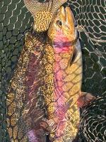
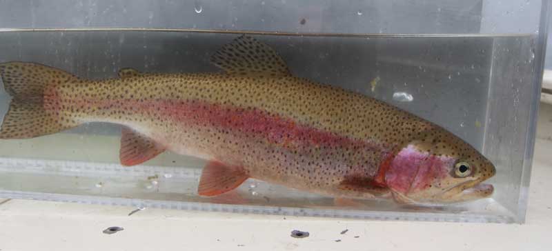
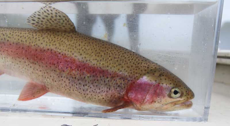
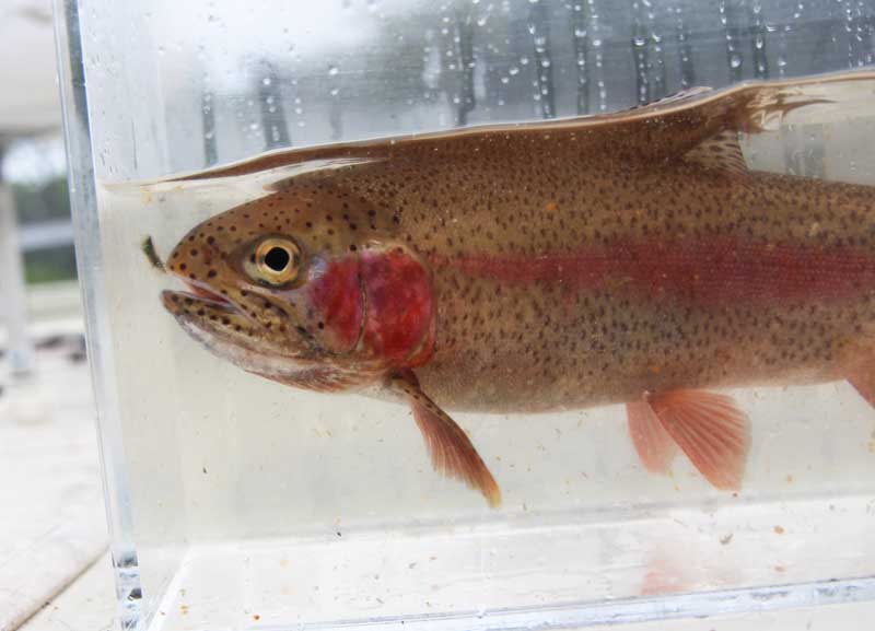
Depends on what you call "giants".... we've seen more 19-inch plus rainbows this spring than I've ever seen. Very impressive. I fished this morning. Good from the dam to Lookout, then fair from there. Picking up moss and stuff. Water is still dingy from the extra water. But this will clear out this morning. I did catch one rainbow right at Fall Creek that puked up a bunch of scuds so they're already finding them.
-
Here is the best way to remove ticks.
Phil Lilley replied to Clayton Will's topic in General Angling Discussion
Pulling off slowly prevents lyme? -
Depends on the size of the boat throwing the wake... I hope we don't see 20,000. This 14k is plenty. It'll stir the scuds up again.
-
I'm not sure how MDC or any fisheries manage crappie... I believe in the spring when the "spring spawn" brings out every seasonal angler in search of the sacred white meat, they catch and keep ALL THEY CAN. I think there's a lot of poaching, double dipping, load the freezer going on. How can you manage anything when this practice is going on? I don't think enforcement can handle it either. It's too prevalent. The question is - can a practice by a few conversation-minded anglers (us) help the crappie fishery by releasing at least one female crappie with eggs on every trip we take in the spring? Some might already practice some sort of release... I'm talking about a public campaign to promote crappie fishing futures on Table Rock.
-
16 June 2015 Update: We will be opening our spillway gates at Table Rock this afternoon (approximately 2:00 PM). Our total release will be approximately 14.4k CFS (8 gates open @ 1' and 2 generators max power). Table Rock Lake's surface pool elevation is approximately 917.4 and rising. As long as Table Rock Lake's elevation is between 917 and 920 this operation will continue. We are using spillway gates to evacuate flood storage because 2 generators are out of service due to storm related damages. Table Lake Dam's current spillway/generator release is (8 gates @ 1' for a spillway release of 8.1k CFS and two generators max power releasing 6.4k CFS). Combined with hydropower, the total release will be approximately 14.5 CFS. FYI - Beaver Lake is only 1' from the top of their flood pool and will likely start spilling into Table Rock Lake later today and/or tomorrow depending on the rain they receive there. It is very likely that we will see 20.0k releases from Table Rock Dam later this week. I would ask each of you to monitor the lake levels and conditions at Beaver, Table Rock and Bull Shoals lakes to be fully aware of the Corps operations on this part of the White River System. Jim Sandberg Operations Project Manager Table Rock Lake
-
This affects Table Rock's level too. From the Corp: 16 June 2015 Update: We will be opening our spillway gates at Table Rock this afternoon (approximately 2:00 PM). Our total release will be approximately 14.4k CFS (8 gates open @ 1' and 2 generators max power). Table Rock Lake's surface pool elevation is approximately 917.4 and rising. As long as Table Rock Lake's elevation is between 917 and 920 this operation will continue. We are using spillway gates to evacuate flood storage because 2 generators are out of service due to storm related damages. Table Lake Dam's current spillway/generator release is (8 gates @ 1' for a spillway release of 8.1k CFS and two generators max power releasing 6.4k CFS). Combined with hydropower, the total release will be approximately 14.5 CFS. FYI - Beaver Lake is only 1' from the top of their flood pool and will likely start spilling into Table Rock Lake later today and/or tomorrow depending on the rain they receive there. It is very likely that we will see 20.0k releases from Table Rock Dam later this week. I would ask each of you to monitor the lake levels and conditions at Beaver, Table Rock and Bull Shoals lakes to be fully aware of the Corps operations on this part of the White River System. Jim Sandberg Operations Project Manager Table Rock Lake
-
16 June 2015 Update: We will be opening our spillway gates at Table Rock this afternoon (approximately 2:00 PM). Our total release will be approximately 14.4k CFS (8 gates open @ 1' and 2 generators max power). Table Rock Lake's surface pool elevation is approximately 917.4 and rising. As long as Table Rock Lake's elevation is between 917 and 920 this operation will continue. We are using spillway gates to evacuate flood storage because 2 generators are out of service due to storm related damages. Table Lake Dam's current spillway/generator release is (8 gates @ 1' for a spillway release of 8.1k CFS and two generators max power releasing 6.4k CFS). Combined with hydropower, the total release will be approximately 14.5 CFS. FYI - Beaver Lake is only 1' from the top of their flood pool and will likely start spilling into Table Rock Lake later today and/or tomorrow depending on the rain they receive there. It is very likely that we will see 20.0k releases from Table Rock Dam later this week. I would ask each of you to monitor the lake levels and conditions at Beaver, Table Rock and Bull Shoals lakes to be fully aware of the Corps operations on this part of the White River System. Jim Sandberg Operations Project Manager Table Rock Lake
-
Everybody is talking about releasing bass on the Rock - what about crappie!?! MDC: Anglers released less than 4 percent of all the legal size crappie they caught in the lake (only 1% up the James River Arm). The average size of crappie harvested was about 11 inches. Crappie recruitment in Table Rock is much lower and more inconsistent than bass recruitment, so harvest definitely plays a much higher role in reducing the overall densities of crappie in the lake than it does for bass. What about starting a campaign to release at least ONE female crappie with eggs in the spring. See how many we can confirm released to help recruitment.
-
Going to start a new topic to discuss crappie on Table Rock...
-
From MDC Fisheries: MDC’s regulations allow fish to be harvested by anglers while sustaining the fish populations and improving the quality of the fishery as much as possible. The 6 fish, 15” length limit on Table Rock accomplishes that. We completed a creel survey on Table Rock from 2012-2013 and interviewed just under 5,000 anglers. Anglers released 85-95 percent of the legal bass they caught during the survey. Furthermore, 79 percent of the bass anglers that harvested bass said they were fishing in a catch and release tournament. Therefore, the number of bass actually harvested and taken home is really much lower if you figure those anglers are releasing them later in the day. True some fish may not make it but the majority probably do. The average size of bass harvested was about 16 inches. Conversely, anglers released less than 4 percent of all the legal size crappie they caught in the lake (only 1% up the James River Arm). The average size of crappie harvested was about 11 inches. Crappie recruitment in Table Rock is much lower and more inconsistent than bass recruitment, so harvest definitely plays a much higher role in reducing the overall densities of crappie in the lake than it does for bass. Table Rock boasts some of the highest densities of bass of any lake in Missouri (over 200 bass per hour electrofishing). With densities that high and harvest rates as low as they are, there is little reason to be concerned about legal harvest harming the overall fishery.
-
I don't know... there may not be any.
-
New guy from Mountain Grove, MO.
Phil Lilley replied to Craig's Outdoor Sports's topic in Introduce yourself
Welcome!


