


1969Larson
-
Posts
332 -
Joined
-
Last visited
Content Type
Profiles
Forums
Blogs
Events
Articles
Video Feed
Gallery
Everything posted by 1969Larson
-
I snuck one in on a 10-yr anniversary trip to Belize a few years back. Bad move.
-
Caught one Friday in about 10 FOW on a white grub. Saw another one miss a keitech right at the boat. Middle of the day. 12 bridge area. Both were small.
-
anyone float the entire river start to finish ?
1969Larson replied to holleybob's topic in Buffalo River
True that! Even a cheap cooler will keep ice for 3 days if you don't keep opening it. -
Yes. I have heard reports of topwater action in the rocky branch area lately.
-
Right on. Floated Mt Hersey to Woolum on an overnight late last summer. Low water, but we slayed the smallmouth and didn't see another person for two days.
-
Great pic!
-
anyone float the entire river start to finish ?
1969Larson replied to holleybob's topic in Buffalo River
I believe you can walk up to a little store when you get to Gilbert to re-supply. Food, ice, water. Should be about half way. -
anyone float the entire river start to finish ?
1969Larson replied to holleybob's topic in Buffalo River
Bring two more fishing rods than you think you'll need. Jealous!! -
What size hooks do you use on those big gizzards? Do you hook them through the nose just like the little guys?
-
I've been tearing them up on the brooder minnows they sell at hook line and sinker lately.
-
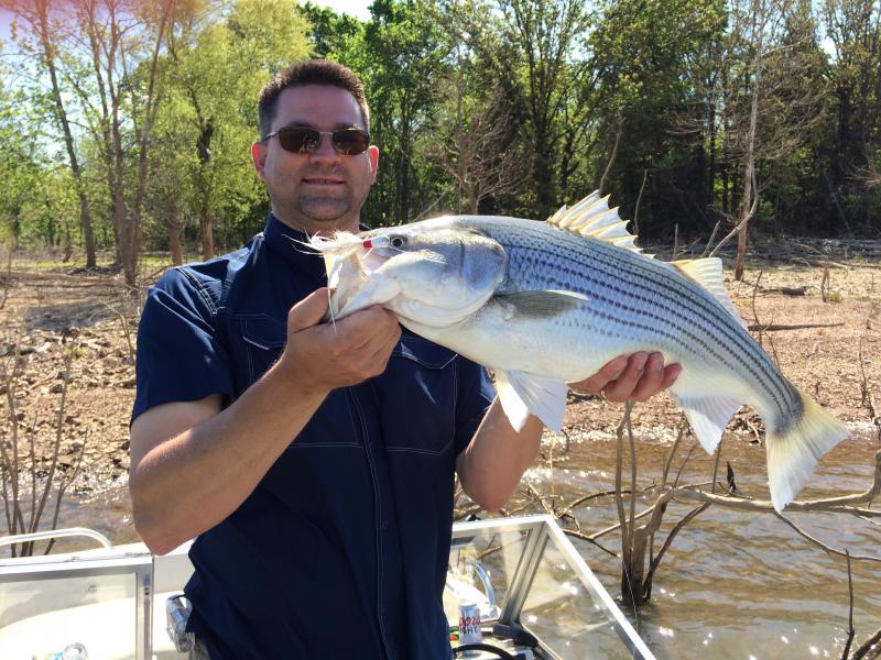
Definitely shallow. Cumberland prayer jigs cast into the brush put several striper in the boat today.
-
Funny you say that. I've seen quite a few smallies caught in Prairie Creek lately. Hope they enjoyed the boat ride and their five minutes of fame.
-
No. The USGS gauge sites might provide some insight though.
-
Looked back through plenty of pictures taken right at the mill during the first week in May with loads of white bass there.
-
I usually go to google earth and screen capture turn-by-turn satellite imagery. Enlarge them, print them, and put them in zip-loc baggies. This helps me know where I am, find good fishing spots and camping spots, and know what's around the next bend. Sounds like a fun trip!
-
http://www.bigbasschallenge.net/bbc_beaver_results.php
-
You always have awesome pics!
-
Awesome!
-
Caught a bunch in a little cove near Horseshoe Bend Park last Thursday. Rat L trap and topwater.
-
Valid point. Isn't a female walleye a female walleye regardless of the calendar. She either has eggs to lay or she will, right? What's the difference in taking her out of the lake in March or in July?
-
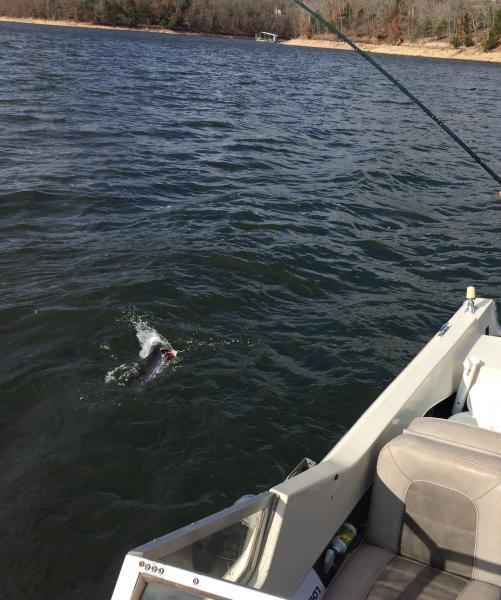
Ok. Deeper water and larger cone makes sense, but what about the same depth? Without giving away a spot... Let's just say I was fishing in Avoca cove at the last boat dock on the starboard side... You know, where the stripers hang out when the very back of the cove is loaded with shad? 27 f.o.w. I see some fish and I'm jiging a spoon in what looks like a nice sine wave on the Lowrance. Pretty much vertical. Then it's gone. Then it's back. Doesn't seem like anything changes. Any thoughts? Am I the only one that this happens to?
-
This brings up a good question... Transducer on the back, spooning off the back... Same spoon, same sonar settings, same water conditions.... Why do I sometimes see the spoon and sometimes not?
-
Just a reminder of what Prairie Creek USED to look like.... Hang in there!
-
Isn't today the 16th or did I spring forward too far?
-
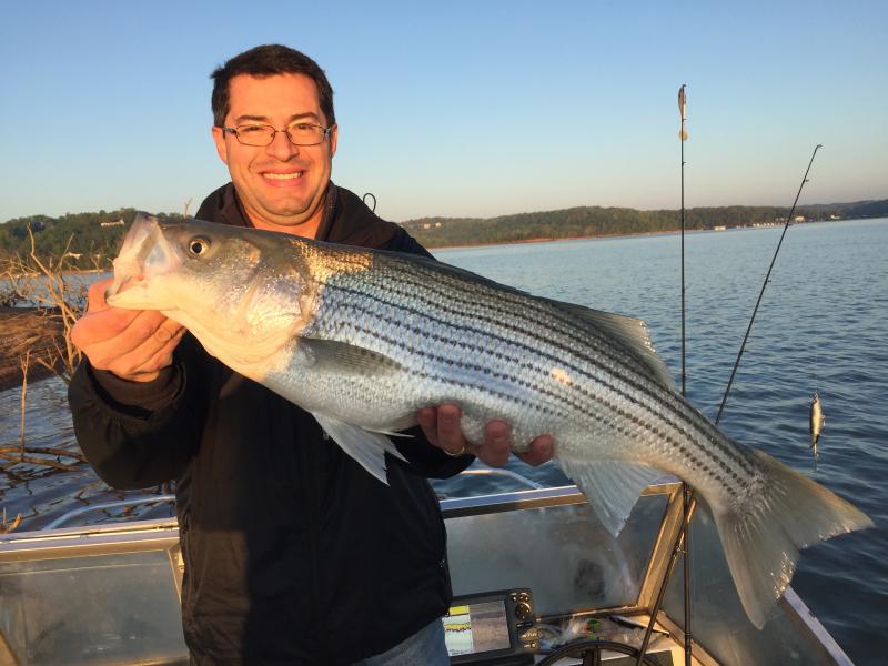
All in the last few days and all in the same general area. Out before light today for a few hours but zeroed. Tons of bait back in the coves, but didn't look like anything eating it. 55 degrees and brown.


