zarraspook
-
Posts
775 -
Joined
-
Last visited
Content Type
Profiles
Forums
Blogs
Events
Articles
Video Feed
Gallery
Everything posted by zarraspook
-
For on-line maps try this--- http://webapp.navionics.com/#boating@8&key=uhcdFftyzP You can zoom in to get contour lines.. PM- sent....
-
Sorry!!! I was thinking one thing and typing something else.... I aimed for BENNETT !!!!! Bob BENNETT !!! I have never heard ANYONE that he took out complain, other than the sun went down to quick... Here is the link to his web page and his facebook page... He is currently fishing the Gulf..... https://www.facebook.com/fishstocktonlake/
-
Just encase you forgot...... Top-Mutton creek; Left-Old State park; Right- State Park....
-
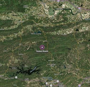
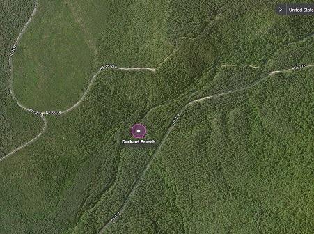
My bad !! I was looking at my Pomme 1977 map and it didn't name Decker Branch ...But my Pomme 1989 Hot Spots map shows the name... Google Earth search don't show any resorts around Decker Branch .... Normally if it exist, I can find it on Google Earth....
-
The only "deckard branch" I can find is in Arkansas ??? In the middle of NOWHERE north of Hot Springs....
-
You could contact the " TinBoats BassCub " .. I'm sure one of them would have a "begin'er" boat they are not using.. They are on FaceBook ... search "TinBoats BassCub"
-
We stayed at the State Park campgrounds a couple of years ago and they were nice with hook ups and a nice shower house in the middle of the grounds.. If you plan on fishing "mid-lake" ... that would be my choice.. see link for more info.. http://www.stocktonstateparkmarina.com/17.html
-
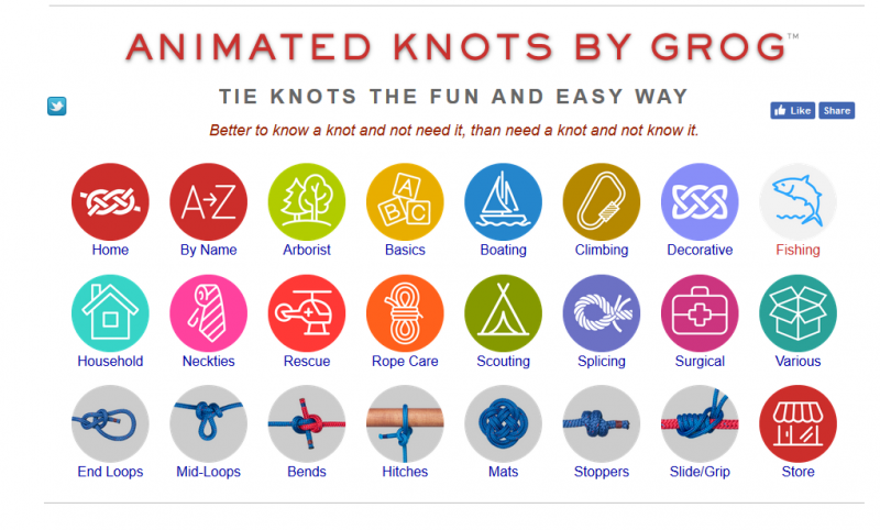
This site shows how to tie several 100 knots. He breaks then down to over a dozen areas one of which is fishing.... http://www.animatedknots.com/
-
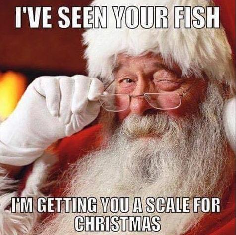
Busted by Santa.....
-
Is everything at the "house on Beaver" ???
-
They came up when I clicked on the link above, in my other post..??
-
I worked 40+ years with R&D electronics... I worked with EMF ( electrical magnetic fields ) early on.. One of the things we would do ( away from work ) was to take an eight foot Fluorescent Light bulb down to the river and fish under the power lines running across the river and it would light up enough that we could see to fish and find the opener for our beer bottles... Back then (late 50's) the power line were not as high as today.... EMF excites the neon gas in the bulb... the closer you can get to the source of the emf the brighter the light -- I.E. you would have to be within 10-15 feet of the actual power lines for full brightness --- Which YOU DON"T WANT TO DO !!!!!! But, to answer the original question = MAYBE... But most likely the brush and debris pushed into the lake from the crews that cleared the area, for the towers to be installed, is why the fish are in the area..
-
I think I have talked to him at Table Rock once.. But, he has a internet/business company and started the lake temp site... "http://www.anglerspy.com" ..
-
Check the thread started 6 days ago... Real-Time Water Temps on Stockton Lake Started by Ben Gillispie, November 3
-
It is a great thing when you can see your fishing/life pardoner enjoying their self ..... Plus, any time someone is really happy -- the GOOD juices flow thru the body and helps heal..
-
If I knew where you were starting from -- I could give you "turn by turn"...but this should help..
-
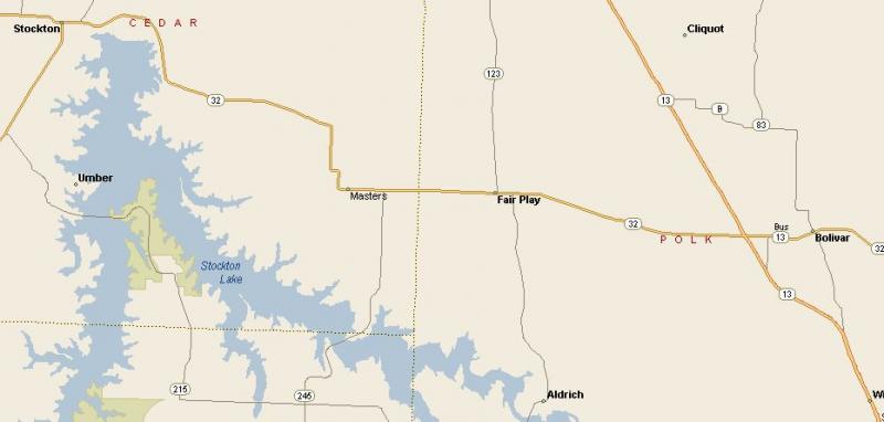
If coming from Bolivar, I would take 32 west to 245 south across the bridge turn right on 215 ( you will pass the turn off to State park Marina ) all the way to 39, right on 39 to Stockton and then 32 to the road crossing the dam and out to 32, Right on 32 back to bolivar...
-
X2 !!!!!!!
-
More boats added
-
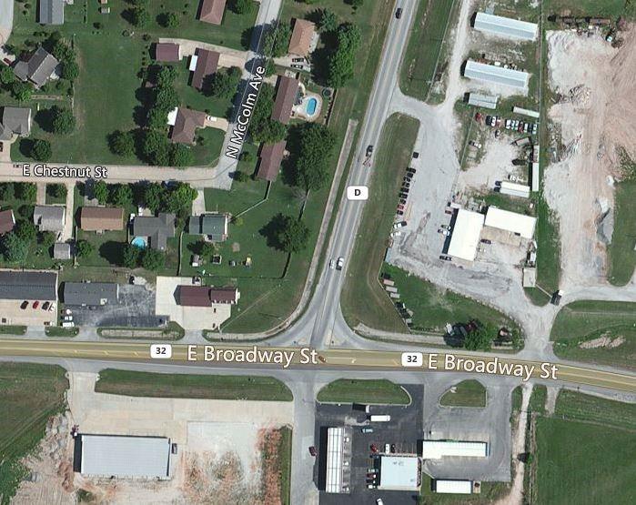
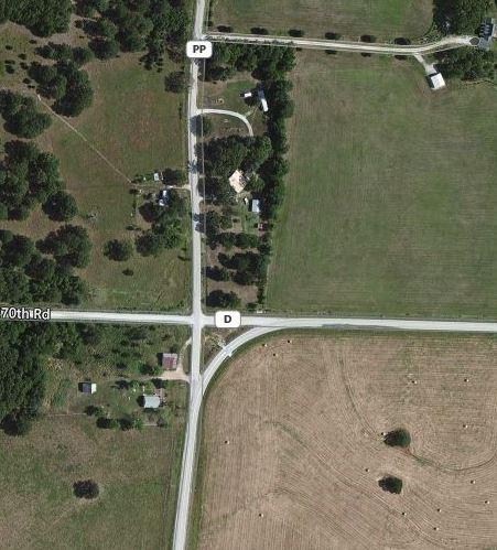
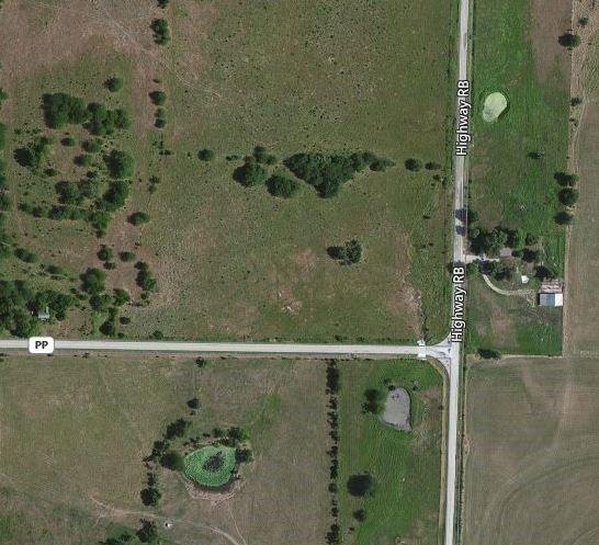
From Bolivar square go east on "32" to "D"--- Stay on "D" to "PP"---- PP will turn to the west; but you will go straight on to "RB"--- RB ends at the Bolivar Landing launch ramp... Just before the ramp is the park road that goes around to the fishing docks...
-
I use google earth with my “Hot Spots” maps to find new areas and now you can download the Pro version free… Google Earth Pro requires a license key. If you do not have a key, use your email address and the key GEPFREE to sign in.
-
I use google earth with my “Hot Spots” maps to find new areas and now you can download the Pro version free… Google Earth Pro requires a license key. If you do not have a key, use your email address and the key GEPFREE to sign in.
- 1 reply
-
- 6
-

-
When the campground is open-- The ramp is for "Campers Only".. I use it in the winter when the campgrounds are closed.. IMHO it is an better ramp...
-
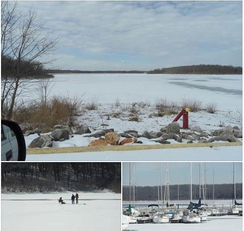
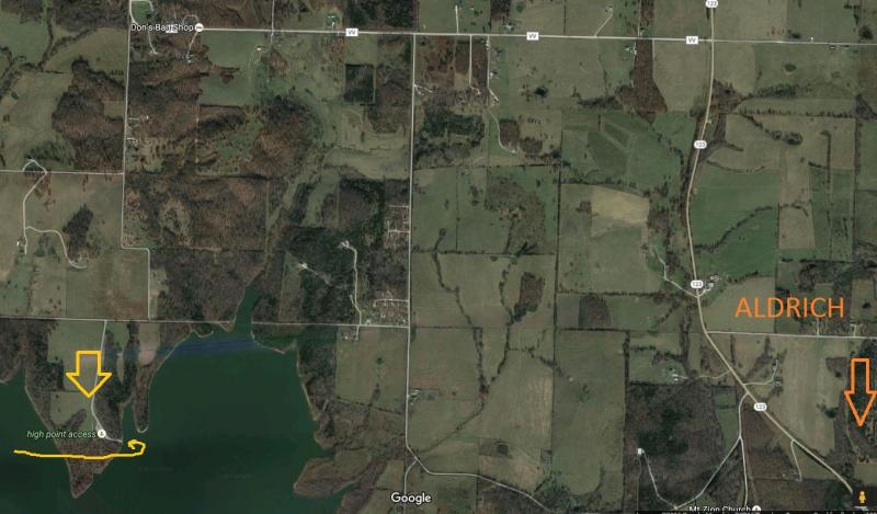
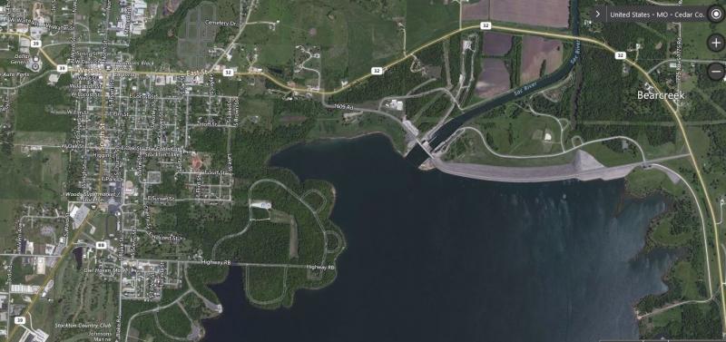
Ran up to Stockton this morning to check out the repair on my trolling motor.. Cedar Ridge is the closes to the house but, when I got there --- There is barricade with a note "RAMP CLOSED DUE TO LOW WATER" !!!! Note went on to say -- " Mutton creek or Masters ramps are the closest" So, I went to Old State Park.....